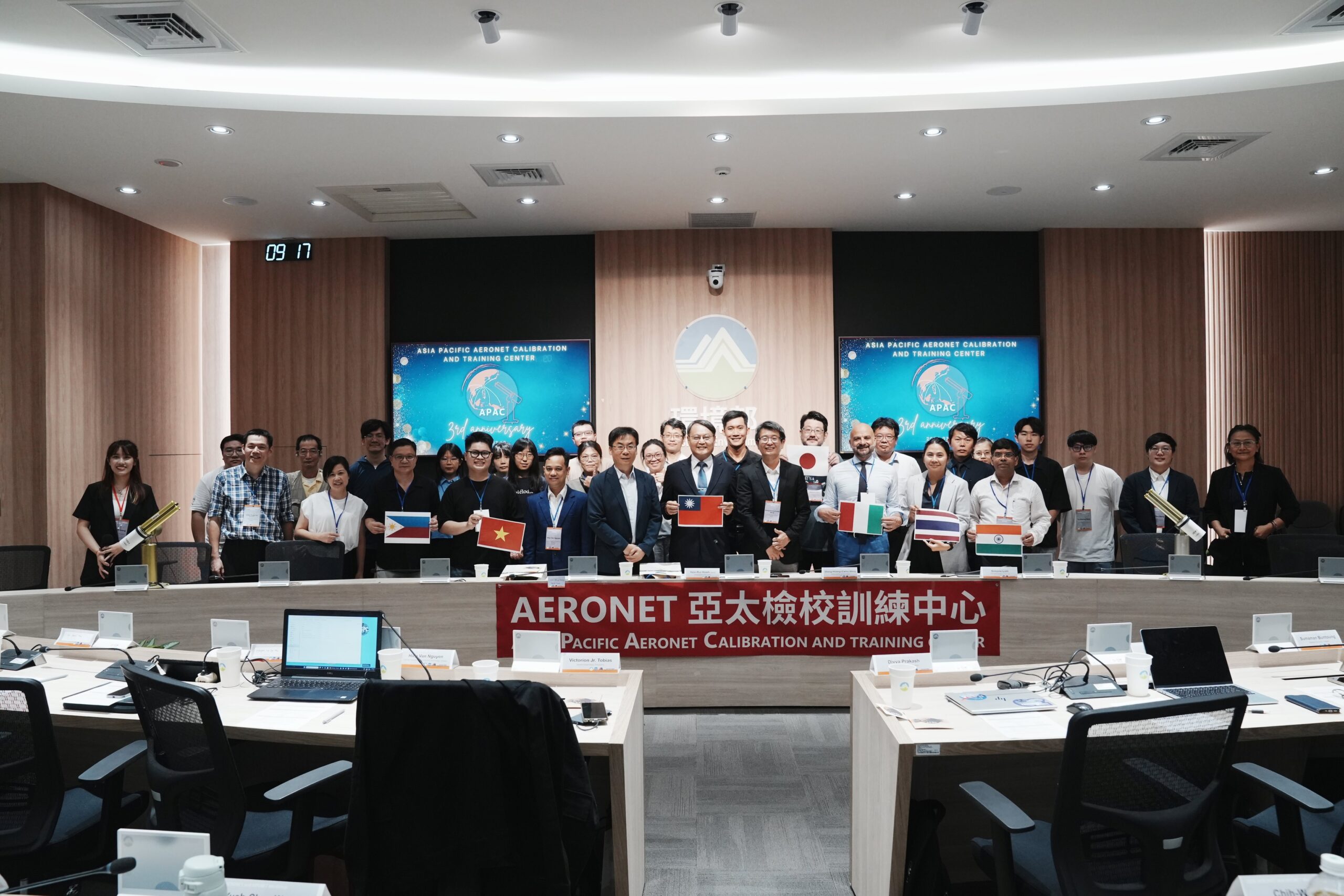
TAIPEI, TAIWAN — The Asia Pacific AERONET Calibration and Training Center (APAC), in collaboration with Taiwan’s Ministry of Environment and NASA, hosted the 2026 Training Course on AERONET & MPLNET on July 13, 2026.
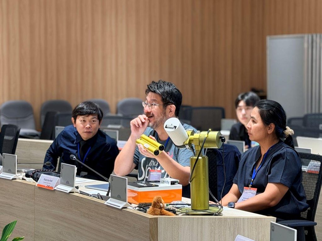
Held at the Ministry of Environment in Taipei, the technical workshop gathered regional site managers, remote sensing researchers, and atmospheric scientists to review network operations, discuss recent measurement techniques, and conduct hands-on instrument maintenance for the Asia-Pacific region.
Opening Session
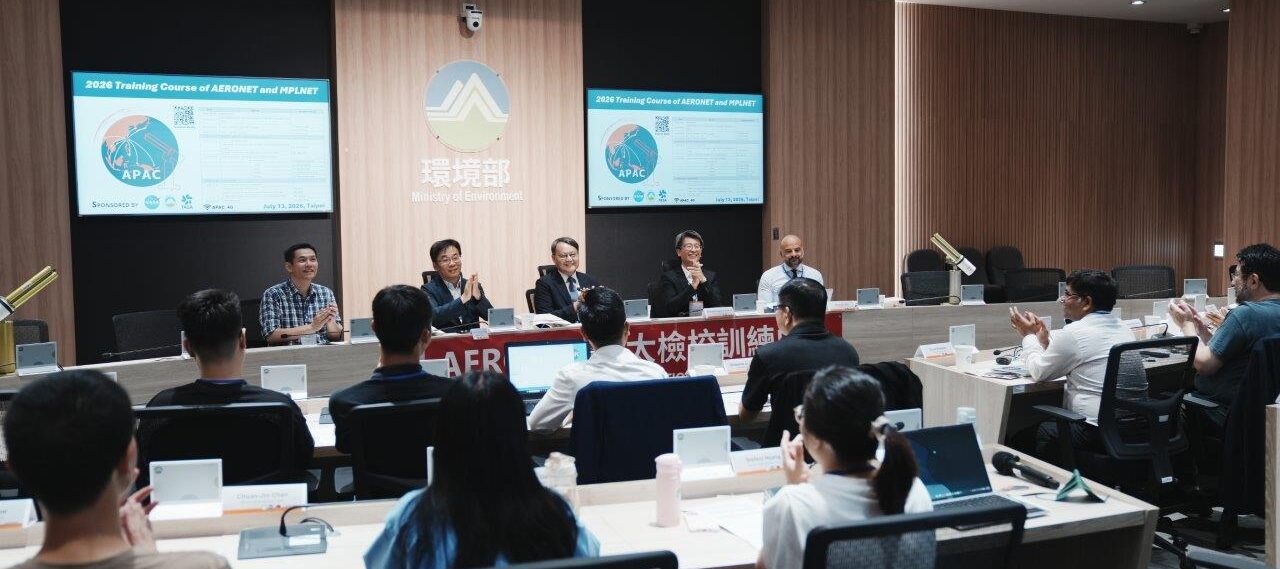
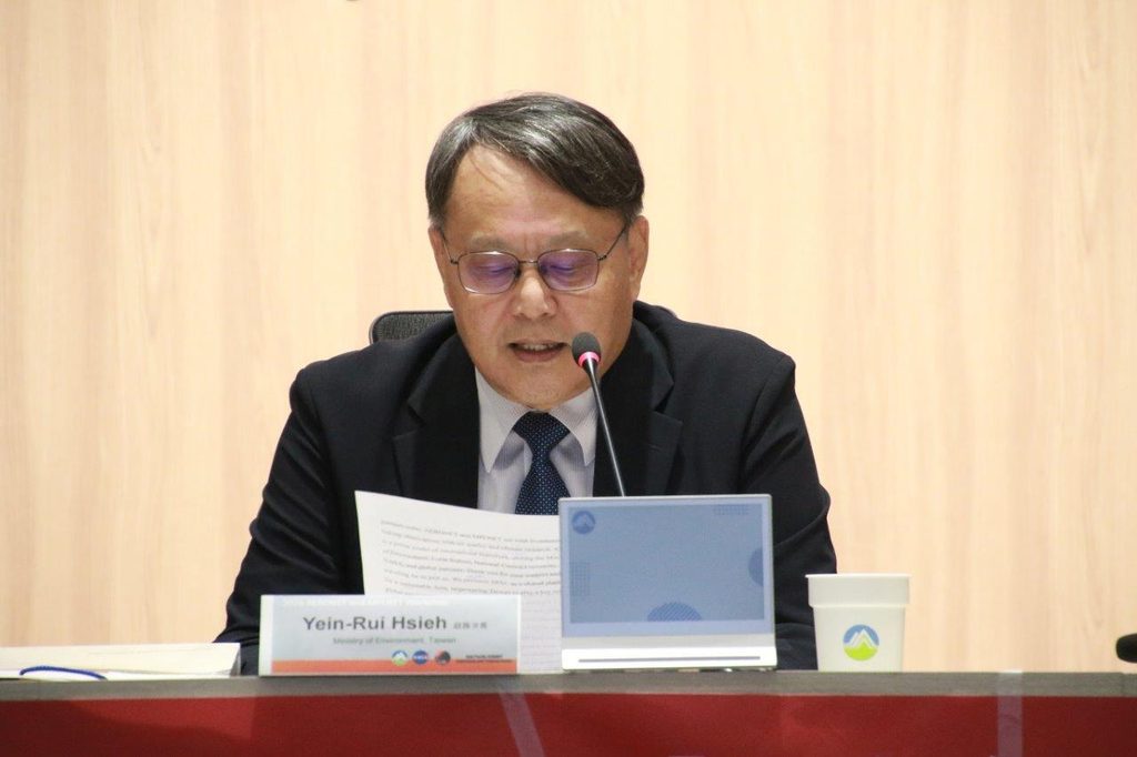
The workshop began with opening remarks from Mr. Yein-Rui Hsieh, Deputy Minister of the Ministry of Environment, Taiwan, who welcomed the attendees and highlighted the value of regional collaboration in environmental monitoring.
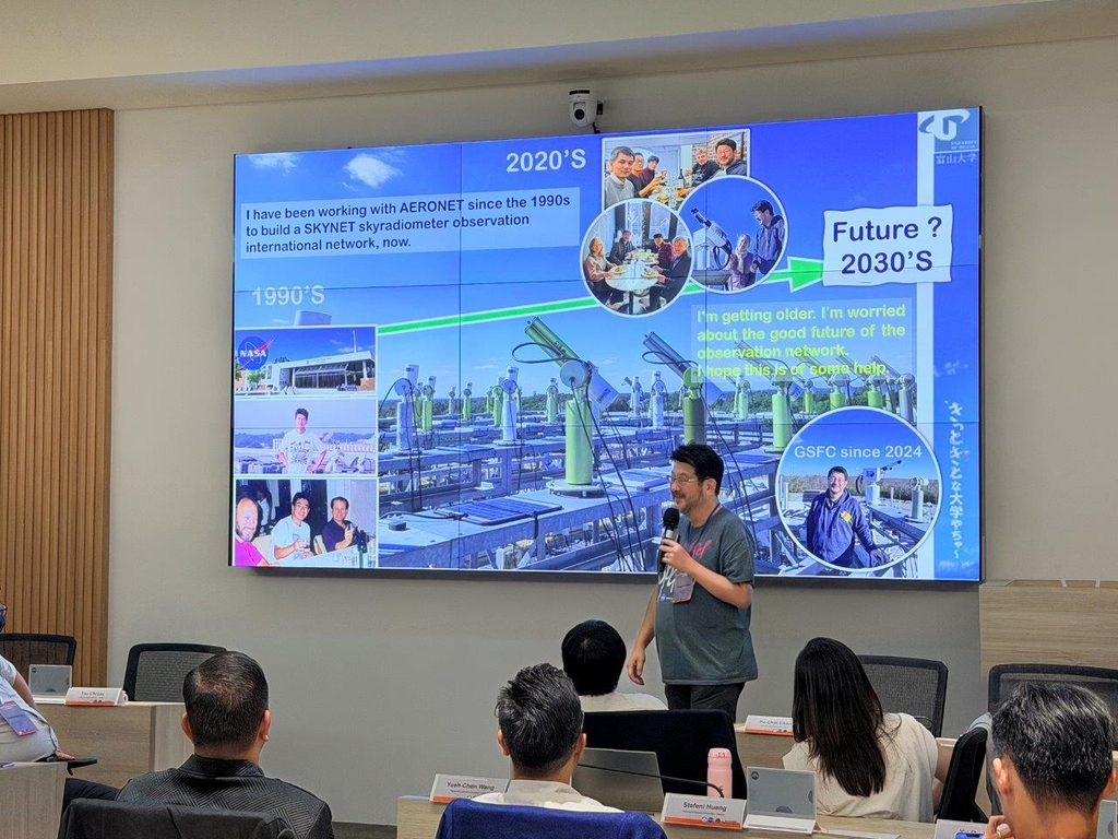
Following the opening address, Prof. Sheng-Hsiang Wang provided a brief introduction to the history of NASA’s AERONET (Aerosol Robotic Network) and MPLNET (Micro-Pulse Lidar Network) in Taiwan. He outlined the ongoing activities managed by APAC, including routine instrument calibration, regional data assistance, and technical training support for partner sites.
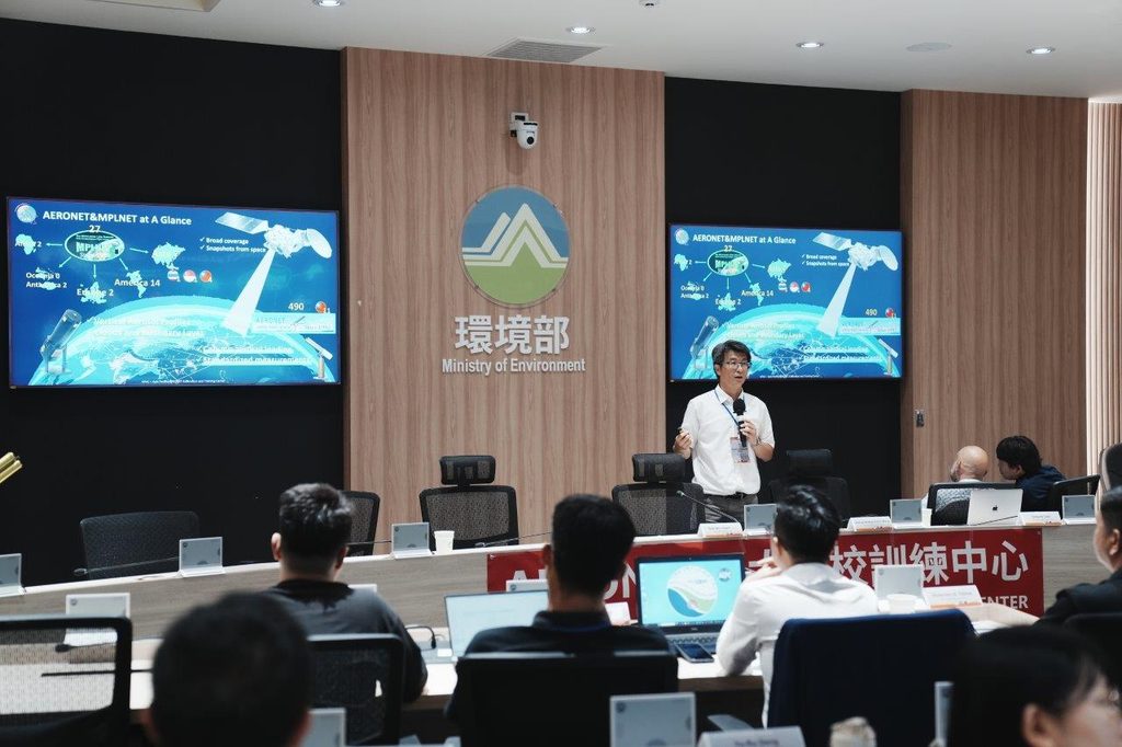
Guest Speaker Presentations
The representatives form NASA’s AERONET and MPLNET network provided updates on global operations and network developments:
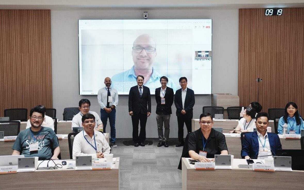
- Dr. Pawan Gupta (AERONET Principal Investigator), attending online, shared updates on global AERONET activities, newly released processing tools, and refined measurement techniques. He noted APAC’s ongoing role in maintaining instruments and training network partners across the Asia-Pacific.
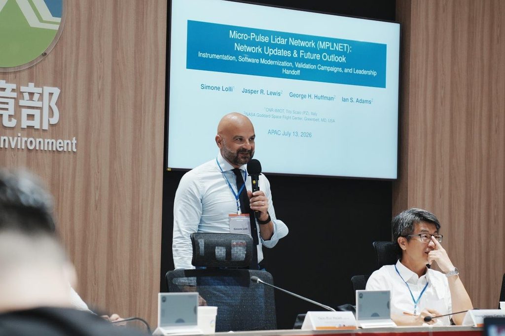
- Dr. Simone Lolli (Former NASA MPLNET Scientist) discussed the current scope of the MPLNET project, continuous lidar data hosting, and potential directions for the network.
Scientific Applications & Country Reports
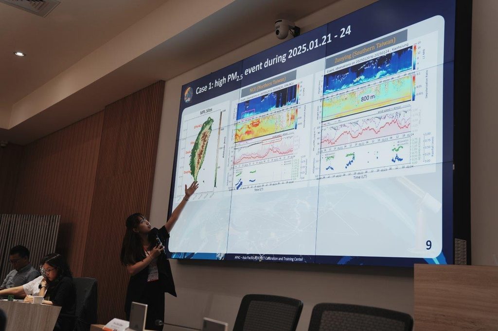
This session focused on research applications of network data and operational reports from partner institutions:
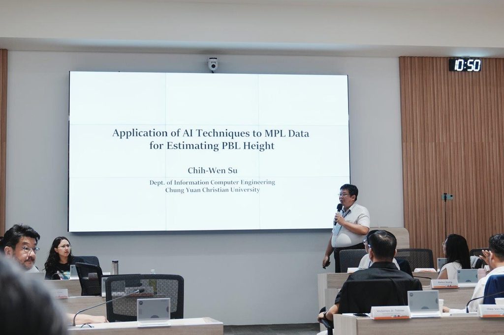
- Planetary Boundary Layer Estimation: Prof. Chih-Wen Su (Department of Information and Computer Engineering) presented research on applying artificial intelligence techniques to estimate Planetary Boundary Layer (PBL) height from observational data.
- AEROSOL Data Case Study: Ms. Wen-Chi Huang presented a case study demonstrating practical applications of combining AERONET and MPLNET datasets to analyze atmospheric conditions.
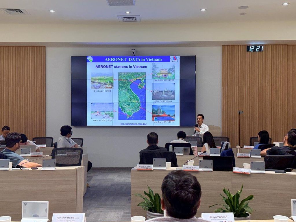
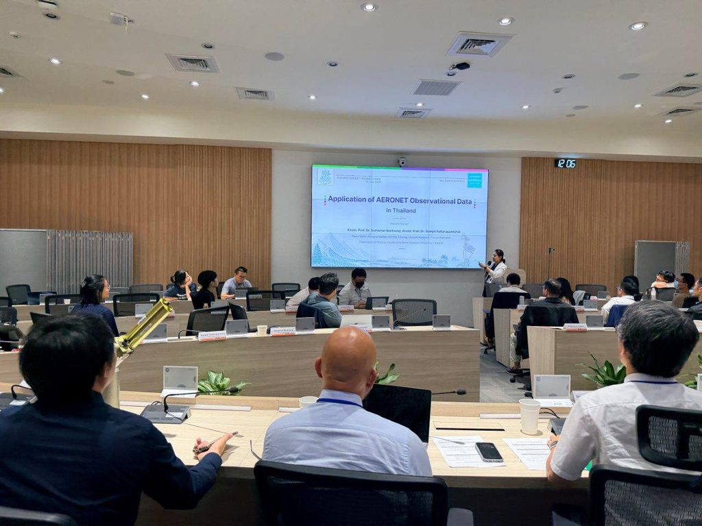
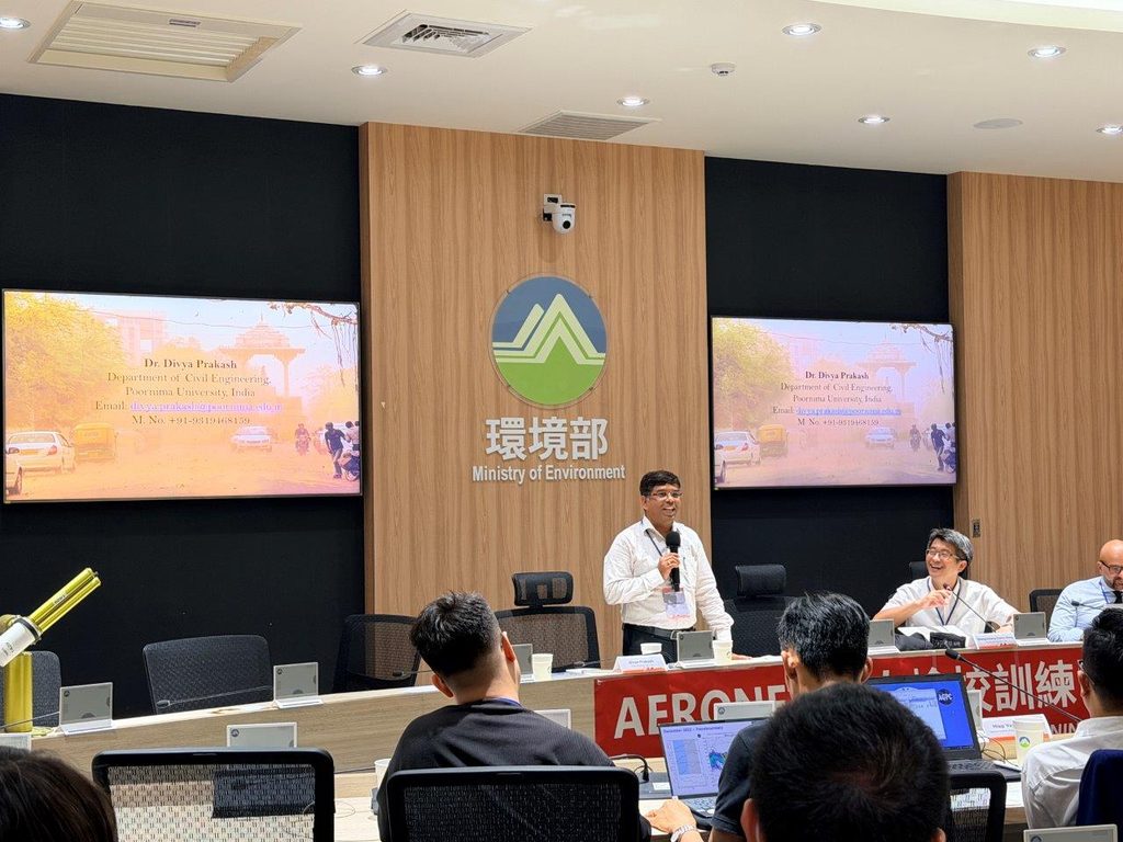
- Partner Country Reports: Representatives from participating countries presented observational results from their local AERONET stations and discussed the practical operational challenges they encounter in the field.
Instrumentation, Website Tools & Hands-On Training
The final session focused on calibration procedures, software tools, and practical instrument maintenance:
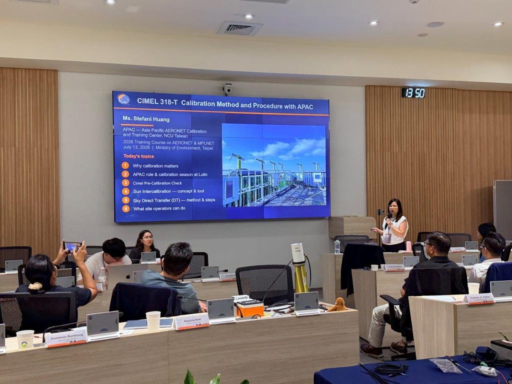
Calibration Processes: Ms. Stefani Huang reviewed APAC’s recent instrument calibration workflows and technical results.
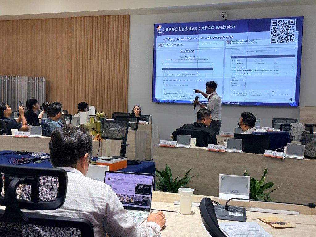
Website Platform Updates: Mr. Amit Bhujel introduced new features on the APAC website designed for site managers and researchers. These updates allow users to check instrument operational status, visualize Aerosol Optical Depth (AOD) data, and access online troubleshooting resources.
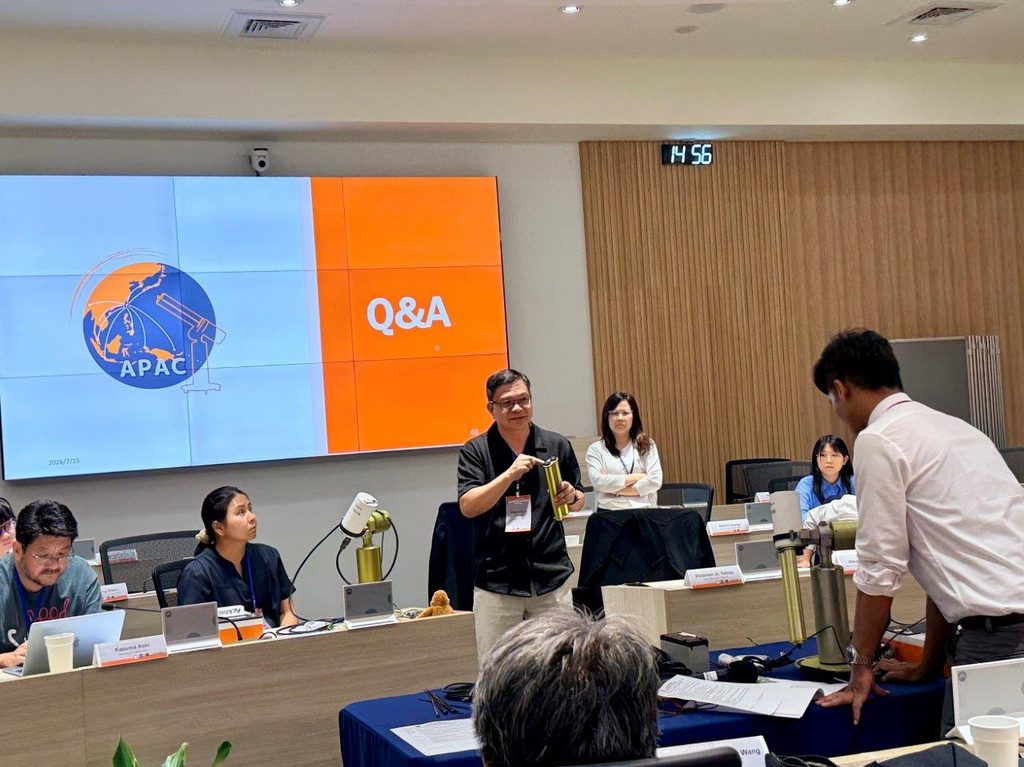
Practical Training & Technical Manuals: The workshop concluded with a hands-on training session for site managers covering inspection, mounting, dismounting, and troubleshooting procedures for common hardware issues. All site managers were provided with a reference handbook containing standard operating procedures and troubleshooting steps for field operations.
Agenda
For details on the training schedules, please download the training agenda from the link below:
Leave a Reply